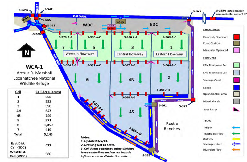
| Dashboard for STA-1 East | Google Earth File | Index | ||||||||||
|
||||||||||||
| Links to time series charts for May 2002 - approx. July 2014 | ||||||||||||
| FLOW PATH | CURRENT | WEST | CENTRAL | EAST | ||||||||
| CELLS | DESIGN | CELL 7-6 | CELL 5-6 | CELL 3-4NS | CELL 1-2 | |||||||
| UPSTREAM | wk g/c | S5A_P | ||||||||||
| BYPASS | g | G301 | G300 | S155A_S319 | ||||||||
| INFLOW | wk g/c | G311 | G311_OUT | S319 | S361 | |||||||
| START | bw grab | S373A | S373B | S370AB | S370C | S366AB | S366CE | S363AC | ||||
| INTERIOR | mo grab | S374AB | S374AC | S371AB | S371C | S367AB | S367CE | S364AB | ||||
| INTERIOR | mo grab | S368AB | S368CE | |||||||||
| END | wk g | S372AC | S372DE | S369AB | S369CD | S365A | S365B | |||||
| OUTFLOW | wk g/c | S362 | ||||||||||
| COLOR CODES | IN / OUT | START | EAV | SAV | ||||||||
| Other Data & References | ||||||||||||
| Water Depths | Operations | Monitoring Plan | Rest Strategies Plan | Issues 2012 | ||||||||
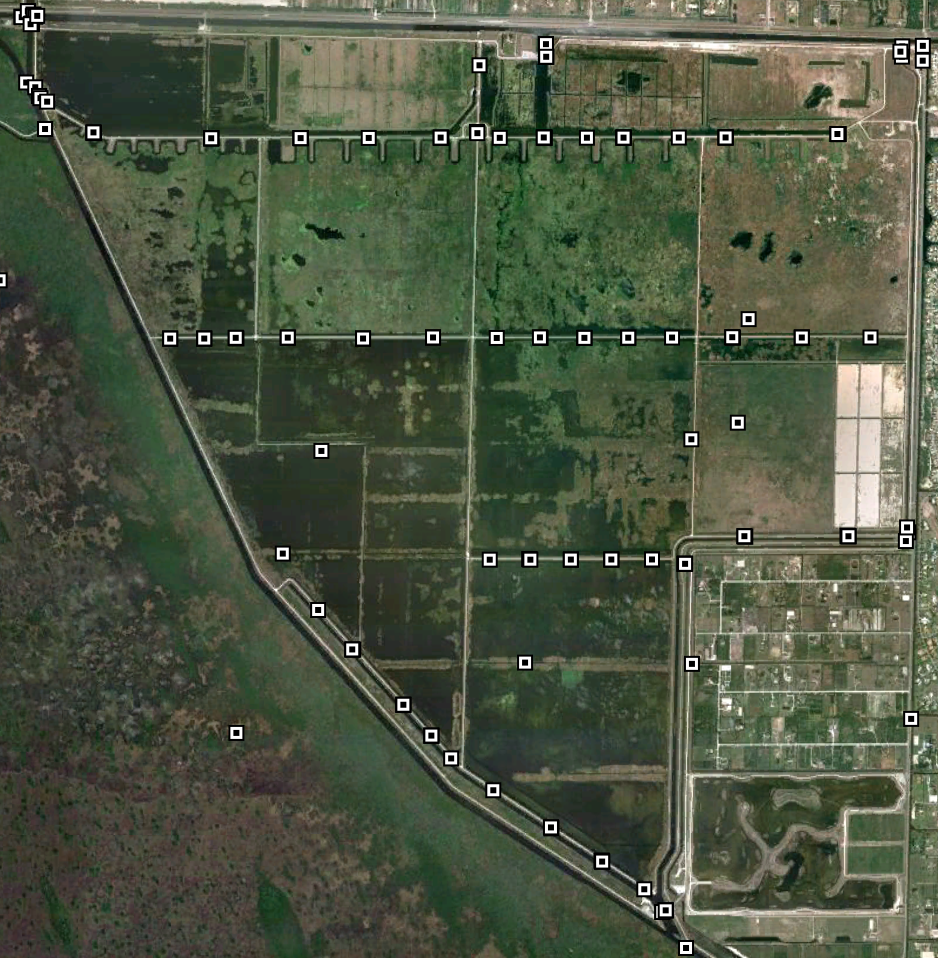
| Aerial Photo | Google Earth File | Permit Sites | Performance 2014 | Simulations | ||||||||
| Vegetation | Topography | Synopsis | Weekly Report | |||||||||
| wwwalker.net/ever/stas/sta-1e.htm | 09-19-2014 | |||||||||||