| Dashboard for STA-1 West | Google Earth File | Index | ||||||||||
|
||||||||||||
| Links to time series charts for May 2002 - approx. July 2014 | ||||||||||||
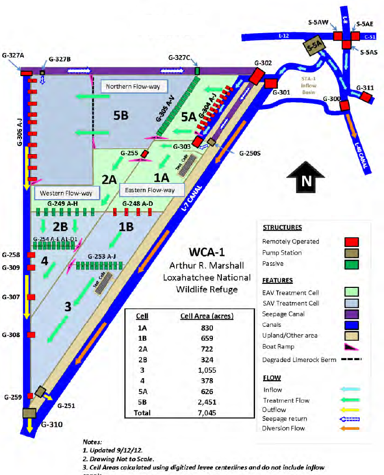
| FLOW PATH | CURRENT | NORTH | WEST | EAST | ||||||||
| CELLS | DESIGN | CELL 5AB | CELL 2AB-4 | CELL 1AB-3 | ||||||||
| UPSTREAM | wk g/c | S5A_P | ||||||||||
| BYPASS | g | G301 | G300 | |||||||||
| INFLOW | wk g/c | G302 | ||||||||||
| SEEPAGE | mo | G327A | G250_S | |||||||||
| START | bw grab | G304 | G255 | G303 | ||||||||
| START | bw grab | G252AJ | ||||||||||
| INTERIOR | mo grab | G254AC | G253 | |||||||||
| INTERIOR | mo grab | G253D | ||||||||||
| END | wk | G306 | G309 | G308 | ||||||||
| END | wk | G306AE | G258 | G259 | ||||||||
| END | wk | G306FJ | G307 | |||||||||
| OUTFLOW | wk g/c | G310 | G251 | |||||||||
| COLOR CODES | IN / OUT | START | EAV | SAV | ||||||||
| Other Data & References | ||||||||||||
| Water Depths | Operations | Rest Strategies Plan | ||||||||||
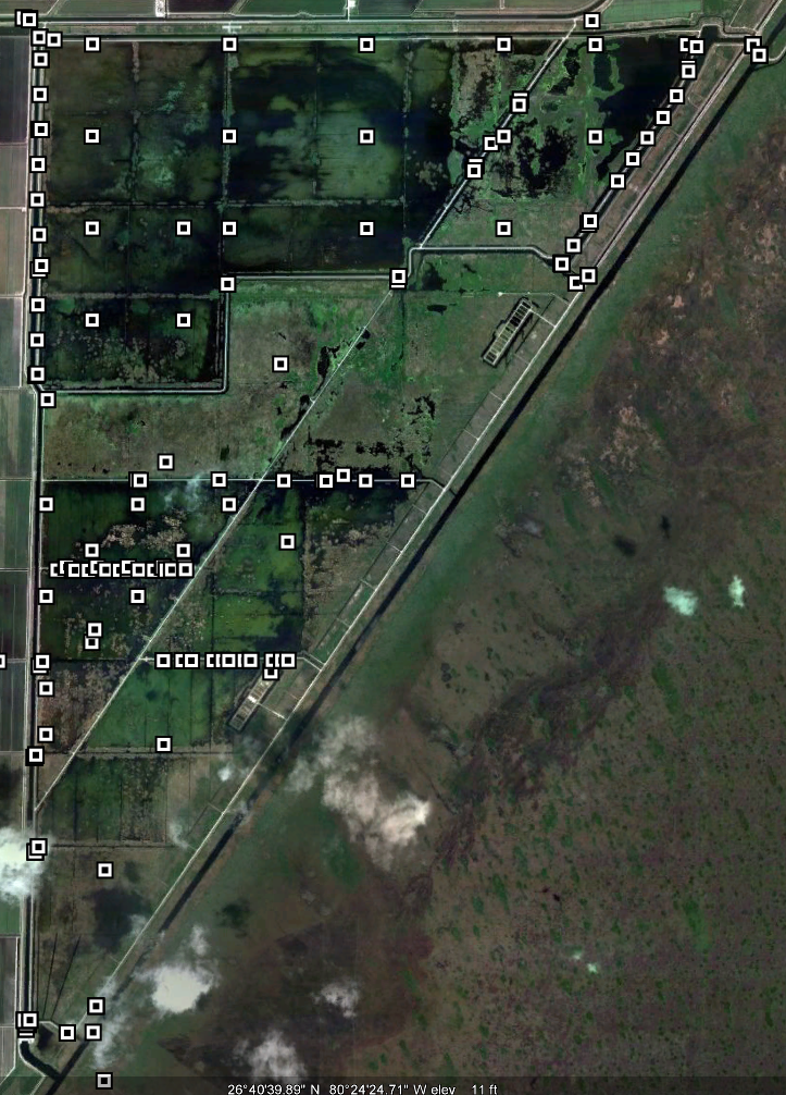
| Aerial Photo | Google Earth File | Simulations | ||||||||||
| Vegetation | Performance 2014 | Weekly Report | ||||||||||
| Topography | Synopsis | Monitoring Plan | ||||||||||
| Issues 2012 | Permit Sites | |||||||||||
| wwwalker.net/ever/stas/sta-1w.htm | 09-19-2014 | |||||||||||