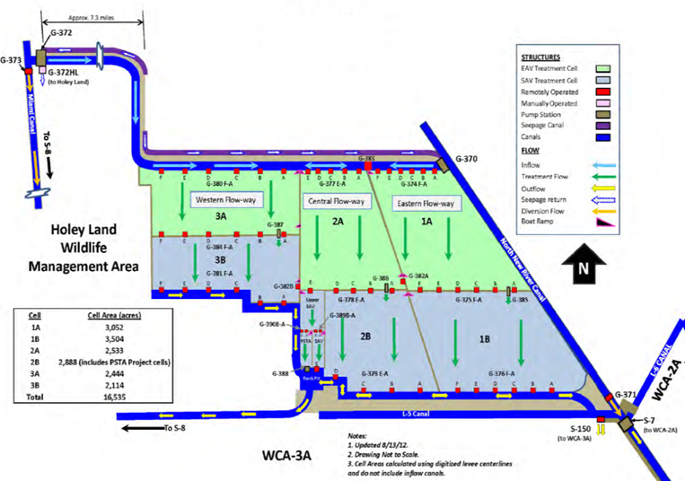
| Dashboard for STA-34 | Google Earth File | Index | |||||||||
|
|||||||||||
| Links to time series charts for May 2002 - approx. July 2014 | |||||||||||
| FLOW PATH | CURRENT | WEST | CENTRAL | EAST | |||||||
| CELLS | DESIGN | CELL 3 AB | CELL 2 AB | CELL 1 AB | |||||||
| SEEPAGEetc | wk g | G372S | G383 | G370S | |||||||
| INFLOW | wk g/c | G372 | G370 | ||||||||
| START | bw g | G380DF | G380AC | G377CE | G377AB | G374DF | G374AC | ||||
| INTERIOR | mo g | G384DF | G384AC | G378E | G378D | G378AC | G375DF | G375AC | |||
| PSTA INFLOW | wk g/c | G390B | G390A | G389B | G389A | ||||||
| PSTA OUTFLOW | wk g/c | G388 | G379E | ||||||||
| END/OUTFLOW | wk g/c | G381CF | G381AB | G379DE | G379D | G379AC | G376DF | G376AC | |||
| BYPASS | wk g | G373 | G371 | ||||||||
| DOWNSTREAM | wk g/c | S8 | S7 | S150 | |||||||
| COLOR CODES | IN / OUT | SEEPAGE | START | EAV | SAV | ||||||
| Other Data & References | |||||||||||
| Water Depths | Operations | Monitoring Plan | Rest Strategies Plan | ||||||||
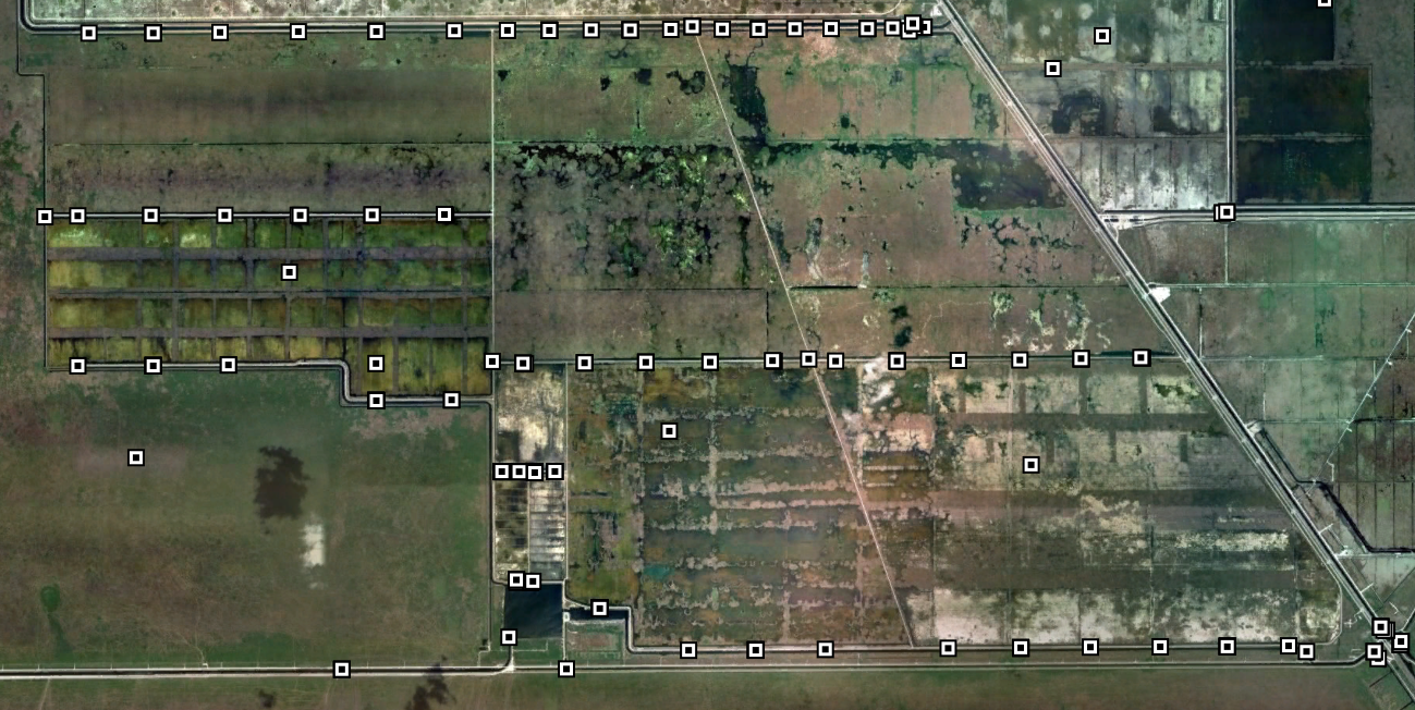
| Aerial Photo | Google Earth | Performance 2014 | Simulations | ||||||||
| Vegetation | Topography | Synopsis | Weekly Report | ||||||||
| Issues 2012 | Permit Sites | ||||||||||
| wwwalker.net/ever/stas/sta-34.htm | 09-19-2014 | ||||||||||